
← The gallery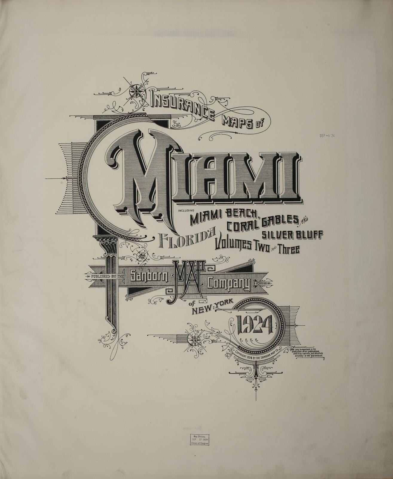
Maps art prints
Every piece here is printed and hand-stretched in Miami, on the same floor that makes our commissioned work. Sizes follow each artwork’s own proportions.
15 pieces
Map of North America (Handkerchief)
R. Gray · 1811
Preliminary chart of Escambia and Santa Maria de Galvaez [i.e., East] Bays, Florida
United States Coast Survey · 1861
Sanborn Fire Insurance Map from Miami, Dade County, Florida, 1924
1924
A map with part of the Florida coast from Cape Blaise to Apalachie; with the boundaries betwixt East & West Floridas, 160 yards across the river call'd Apalachicola
Robert Slowley · 1769
Maps of East and West Florida
Bernard Romans · 1781
A map with part of the Florida coast from Cape Blaise to Apalachie : with the boundaries bewixh East & West Floridas : 160 yards across the river calld Apalachicola
Robert Slowley · 1769
The east coast of Florida is paradise regained
J. P. Beckwith · 1898
[Map of Spanish East and West Florida from Mobile Bay to Apalache Bay bounded by the United States boundary on the north]
Vicente SebastiáN Pintado · 1815
Map Sampler
1790
The Campus Martius of Ancient Rome, the Work of G.B. Piranesi, Fellow of the Royal Society of Antiquaries, London
Giovanni Battista Piranesi · 1762
Plan of Chicago, Chicago, Illinois, Diagram Showing City Growth
Daniel Hudson Burnham · 1909
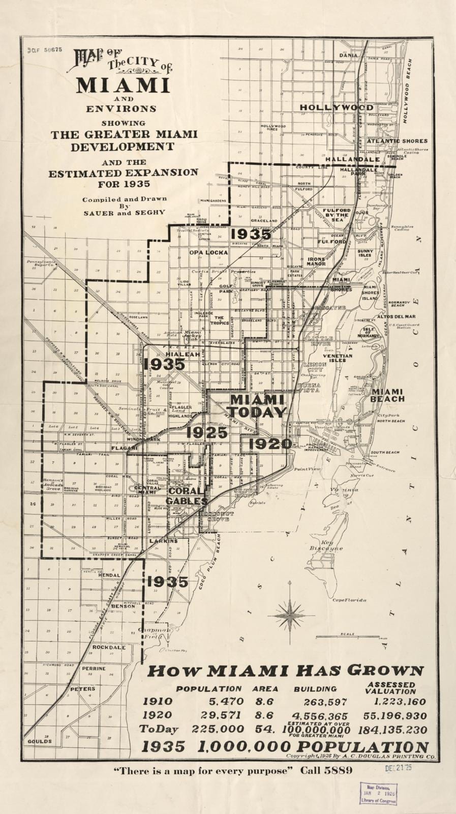
Map of the city of Miami and environs : showing the greater Miami development and the estimated expansion for 1935
Sauer And Seghy · 1925
Correct map of Florida : season of 1894-5 : showing the Tropical Trunk Line : comprising the Jacksonville, Tampa & Key West R'y, the Florida Southern Railroad Co., Indian River Steamboat Company, Jupiter & Lake Worth Railway, Lake Worth steamers, and connections : leading from Jacksonville to the east coast, the west coast, the south coast
Matthews-Northrup Company · 1894
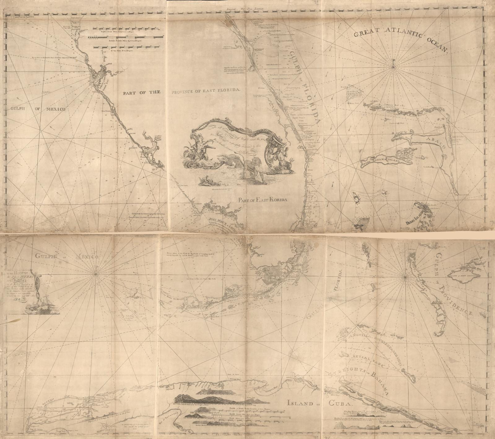
The north east shore of the Gulph of Mexico
Joseph F. W. (Joseph Frederick Wallet) Des Barres · 1780
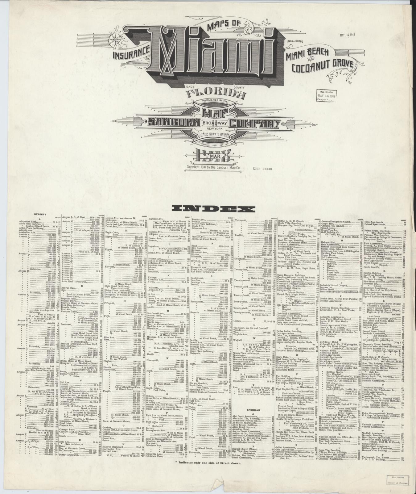
Sanborn Fire Insurance Map from Miami, Dade County, Florida, 1918
1918